
Check Leland Neighbor Block Sources
A map-based definition is the safest starting point for Leland neighbors: parcels that share a boundary with the subject parcel, or parcels fronting the same short street segment. That definition identifies a geographic relationship, not every person associated with those addresses. Start with the GIS parcel, then choose the next record based on the question. The property card gives an administrative owner-and-parcel connection, a deed provides a recorded transaction trail, and community sites describe only what their organizations publish openly.
| Block source | What it shows near an address | How to reach it |
|---|---|---|
| County GIS Data Viewer | Subject parcel, touching parcels, roads, addresses, and public geographic layers. | Free county viewer |
| Tax or property card | Parcel ID, owner information, mailing address, situs address, and legal description. | Property-card route |
| Register of Deeds | Recorded transfer, plat, easement, covenant, and book/page connections. | Online index or Bolivia counter |
| NCSBE voter lookup | Public registration details for a named person, where public. | Name-led state form |
| Community association source | Published community information and organization contacts. | Public site or association contact |
The sources do not all describe the same thing. A property owner may receive tax mail elsewhere, while a community site may contain only public announcements. Use an official record to answer an official-record question and do not fill a gap with assumptions. A Leland block map can provide a useful, limited picture without becoming a private contact list.
Map Leland Neighbor Parcels
The Brunswick County GIS help sheet directs users to search an exact county address or parcel number. Parcel ID is the recommended key. From the selected parcel, turn on Parcel Lines, Roads, Addresses, and Building Footprints, then zoom to a readable scale. The map can help distinguish parcels that touch the subject property from parcels that only happen to be nearby.
- Search the exact address or parcel ID and select the subject parcel. Record its ID and legal description before moving to surrounding parcels.
- Click every parcel that shares a boundary or fronts the chosen segment. Use Select or Query for a group when the map supports it.
- Open the parcel pop-up for each selected lot. Compare owner information, mailing address, situs address, and legal description without treating a mailing address as residence proof.
- Use Parcel Info Print to save a selected parcel sheet and Map Print to preserve the geographic context. Measure and Draw Graphics can define a transparent radius or block shape.
- When ownership timing matters, move from the current owner to the Register of Deeds index. For a full named-street chain, use the Leland street directory route.
The GIS viewer is compiled from deeds, plats, and public records. Brunswick County says its map information is not a legal survey, so it cannot settle a boundary question. A recorded plat, deed, or professional survey is the appropriate next source when parcel lines affect a decision. The viewer's parcel pop-up can expose parcel information, tax-card details, legal description, owner information, and a Zoom To action.
Start with the Brunswick County parcel-card source after locating a Leland block in the viewer.
Use each card as a record of the parcel. It may lead to an owner, a mailing contact, a legal description, or a deed trail, but it does not resolve present personal connections.
Read Leland Neighbor Map Layers
Neighbor research becomes clearer when geography is separated from identity. The county's live layer list includes municipalities, postal zones, voter precincts, school districts, fire-fee districts, sanitary districts, flood hazards, zoning, cemeteries, and parcels or condo units. A Leland municipality layer, postal-zone layer, and nearby Belville or Winnabow context can explain why adjoining lots receive different civic or delivery labels.
Postal zones are especially useful as a check, but a ZIP code is delivery geography rather than a city-limit or resident boundary. Research connects 28451 and 28479 to the Census place Leland, while wider county layers include additional postal zones. Confirm an individual delivery address with USPS rather than using a map color as a final answer. School, precinct, flood, and zoning layers answer the same type of geographic question, not a question about a particular individual.
See the Brunswick County development maps source for the county map and dashboard routes.
GIS voter-precinct layers work the same way. They show electoral boundaries, not voter identities. The public voter lookup requires a first and last name, offers an optional birth year and county filter, and has no street-only or block-only search.
Find Leland Neighbor Communities
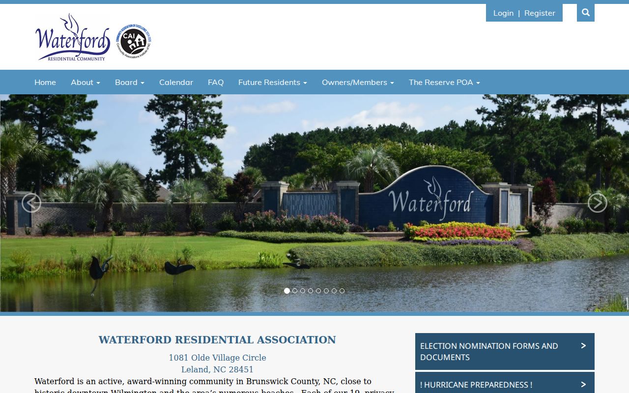
Community pages are useful for address orientation and official association contacts, not for reconstructing private membership. Waterford Residential Association identifies a Waterford address at 1081 Olde Village Circle and describes 19 gated neighborhoods connected by paths and waterways. Brunswick Forest publishes neighborhood names such as Ibis Roost, Trestle Ridge, Collingwood Cottages, Creek Side, Osprey Landing, Hazel Branch, Heron Pointe, Parkview, Park Side Townhomes, Egret Cove, Park West, Cypress Pointe 2, The Lakes, and Shelmore.
| Leland community source | Publicly useful information | Directory boundary |
|---|---|---|
| Waterford Residential Association | Community information, association structure, and public contacts. | Resident newsletters, news, essential contacts, and publications are login-gated; no public member directory. |
| Brunswick Forest | Named neighborhoods that can help orient an address. | No public membership directory found. |
| Park West | Association and community information for a Brunswick Forest neighborhood. | No public membership list found. |
| Town volunteering list | Public organization-contact routes for civic and nonprofit groups. | Organization contacts are not member rosters. |
Open the Waterford community source to see the practical boundary between public community information and resident-login material.
Association or management records are not presumed public under North Carolina's public-records law. Ask the organization only for information it chooses to publish or share through its own process. A neighborhood name can orient a map or plat, but it does not prove that a person belongs to that community.
Check Leland Neighbor Civic Clues
The North Carolina State Board of Elections lookup is a named-person tool, not a Leland neighbor list. It can return public registration details, jurisdictions, precinct, polling-place information, and participation history where public. Participation history is not a ballot choice. Full date of birth, identification data, voter photographs, and protected addresses are not public through the normal lookup. The public form's Required Voter Status control also makes clear that its result set is not a street directory.
For a block's physical history, Brunswick County Permit Reports offer a different route. The county describes archived files for April 2018 through December 2019 and reports from January 2020 forward, including a spatial search for active permits within a self-defined radius of a parcel. A result may name a project applicant, owner, contractor, designer, or inspection contact, depending on the published fields. It documents a permit process, not a current-person connection.
Note: Check report revisions, voids, and expirations before using a permit date as evidence of a block change.
Compare Leland Neighbor Search Sources
Official records and commercial neighbor-lookup tools are not interchangeable. The county systems show the public record or map connection and provide a custodian to contact when a result needs verification. Commercial tools can combine old and new data from different sources, but their coverage, timing, and correction practices are not the same as a county parcel or recorded deed. Use the category as a prompt to verify, never as a substitute for the official record.
| Source category | Best use | Important limit |
|---|---|---|
| Official parcel, GIS, and deed records | Confirm a parcel, public owner connection, recorded transaction, and legal description. | They do not list every individual linked to an address. |
| Official voter lookup | Check public voter information for a named person. | No public street or block result; protected fields remain closed. |
| Community association publication | Find public community information and published contacts. | Private member material is controlled by the association. |
| Commercial neighbor-lookup category | Spot a possible lead to verify with a custodian. | May be stale, merged, incomplete, or hard to correct. |
Myth: a map that displays several nearby names proves who your Leland neighbors are today. The map establishes parcel relationships; it does not settle present residence, family connection, or private community membership. The strongest answer usually comes from matching the address, parcel ID, and recorded source within a narrow time period.
Define Leland Neighbor Address Terms
Map results become clearer when each address term has one purpose. The GIS parcel is the mapped unit of land. Its situs address identifies the physical location; the tax mailing address identifies where the bill is sent and can point to an owner, agent, trust, or business elsewhere. A legal description uses lot, block, subdivision, or metes-and-bounds language and can link the map to the Register of Deeds. A nearby parcel relationship is not proof of household membership or present residence.
- Adjacent parcel
- A parcel that shares a boundary with the subject parcel or is selected as a nearby map unit.
- Fronting parcel
- A parcel facing the same road segment, which may not share a boundary.
- Parcel ID
- The county administrative key used to connect a map selection with tax-card information.
- Situs address
- The physical land or building address used for GIS and permit work.
When an ownership date matters, compare the parcel result with the deed index and its legal description. That sequence is more reliable than treating a visible mailing address or a community label as a statement about everyone who lives nearby.
Respect Leland Neighbor Privacy Limits
North Carolina public-record access does not require an agency to create a new list about a block. Chapter 132 permits access to existing public records, subject to record-specific confidentiality rules. The Address Confidentiality Program can provide substitute addresses for qualifying survivors, and protected voter addresses must not be exposed or reverse-engineered. Court, motor-vehicle, and utility customer information have separate limits.
A nearby parcel or a community name is not permission to contact, follow, monitor, or publish information about someone. If a record appears inaccurate, take it to the office or organization that maintains it. The fact that a name is not visible online may reflect a protected record, a delayed update, or a source that never collected that information. Respecting those limits makes a Leland neighbor lookup more accurate as well as more responsible.